This is one outlet's own report from Houston Chronicle — the article as it was filed. Other outlets are covering the same event; open the full story to compare every source side by side.
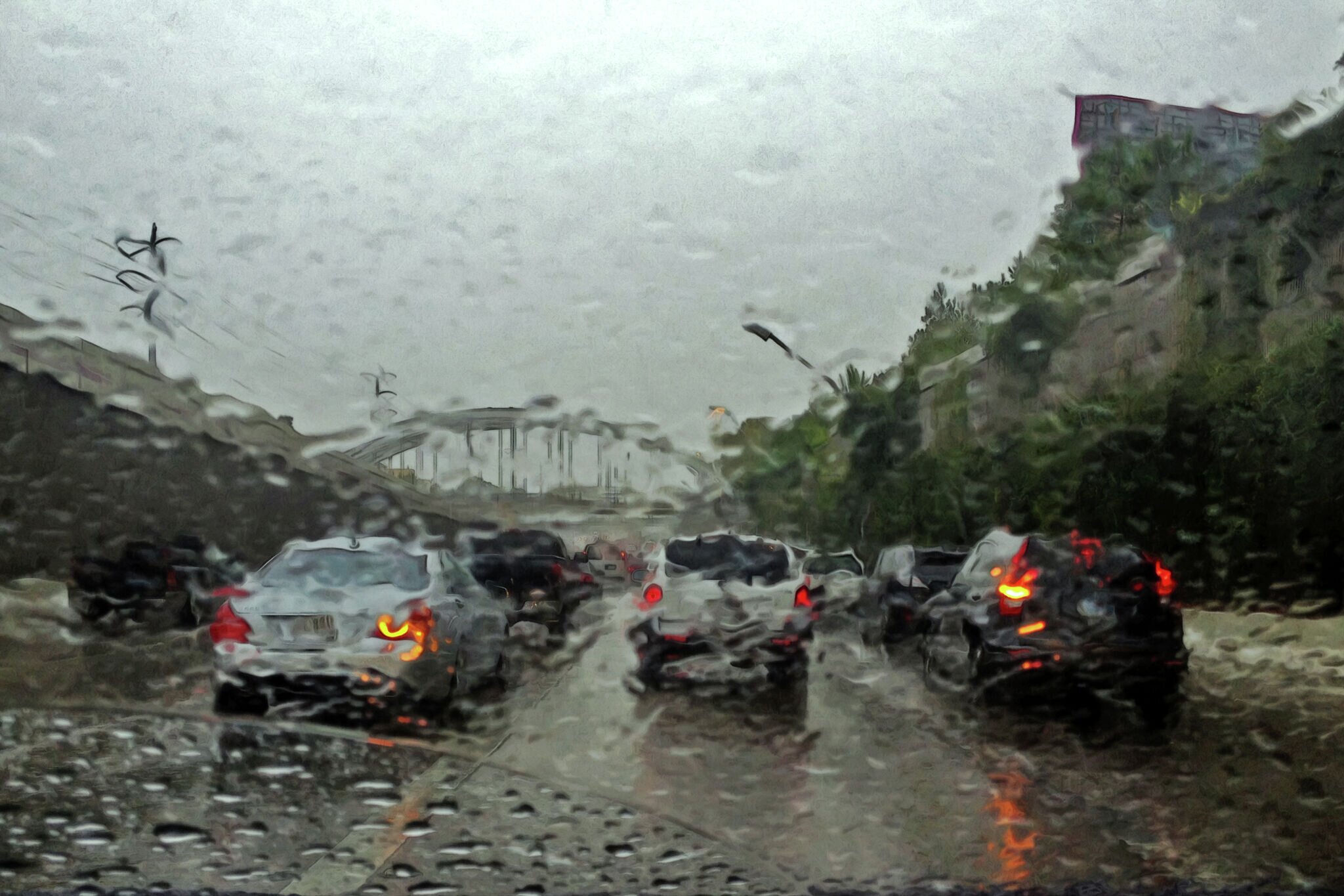
Parts of West Texas could see rounds of thunderstorms through the weekend , bringing strong winds, frequent lightning and enough heavy rain to potentially cause localized flash flooding.
The National Weather Service in Midland/Odessa said Friday afternoon that isolated to scattered storms are expected to develop each afternoon through Sunday, particularly across western portions of the region.
"Some storms may produce strong winds, frequent lightning, and heavy rainfall leading to localized flash flooding," NWS forecasters wrote in their Friday afternoon forecast discussion.
For Friday, the best opportunity for thunderstorms will be mainly along and west of the Pecos River, where forecasters said moisture, instability and upslope winds could help storms develop during the afternoon.
Most of that activity should fade Friday evening as daytime heating winds down before another round becomes possible Saturday afternoon.
The storm chances aren't necessarily bringing much relief from the August heat, either.
Another round of storms is in store today. Strong winds and heavy rainfall leading to localized flash flooding will be the primary hazards especially for areas within the green circle. #txwx #nmwx pic.twitter.com/g1p1JlI45K
Temperatures are expected to remain above normal through the weekend and into next week, with some locations approaching or exceeding 100 degrees. Big Spring is forecast to reach 100 degrees Saturday and Sunday, while Midland and Odessa should climb into the upper 90s.
Sunday and Monday are expected to bring more of the same, with temperatures ranging from the 90s to around 100 degrees across much of the region and isolated thunderstorms possible over higher terrain.
Rain chances should largely disappear by the middle of next week as the region dries out, according to the NWS, with daily precipitation chances falling below 5 percent across most locations. A stray storm could still develop around mountainous areas.
The heat, however, isn't expected to go anywhere.
"Highs will remain above normal in the upper 90s to low 100s for most," NWS forecasters wrote.
AIPROPX is an independent multi-source news index — we track, compare, and connect coverage from across the web into one place you won't find anywhere else.